In today’s digital age, generation and transmission cooperatives like Hoosier Energy have become increasingly data driven. Since, until recently, that data resided in a variety of forms and locales, cohesiveness
was elusive.
However, over the past two years, Hoosier Energy’s transmission assets and scheduling team has set out to unify that information — from vegetation management to line to substation to meter relay to communications. How? By using a geographic information system (GIS).
GIS essentially creates, manages, analyzes, and maps all types of data by connecting location information with descriptive attributes.
Initially managed by an outside contractor, the GIS is now under the watchful eye of Jason Santana, Hoosier Energy’s GIS and enterprise asset management (EAM) coordinator. He’s been able to take what GIS software company Esri provides and customize it to meet the needs of Hoosier Energy, including writing custom scripts and designing dashboards for not only Hoosier, but its members.
It all falls under the computerized maintenance management system (CMMS), allowing work to be shared across all platforms.
The rollout process has grown over the past year as Santana created new tools, updated images and designed dashboards for each department.
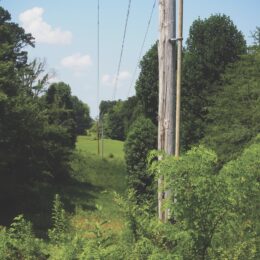
Vegetation management and the right-of-way crews have used the GIS the longest due to the nature of their work. The line crews followed suit, and because of a continuous improvement request from the substation crews, they got involved with the GIS this past October. The rollout will continue with communications and meter relay.
While maps and locations are the first things that come to mind with the GIS, there’s much more to it. “It’s a repository of information, it’s a database, it’s a way to communicate,” Department Manager Jody Tindall said. “It’s a way to fill out forms, submit forms, create forms, without ever looking at a map.”
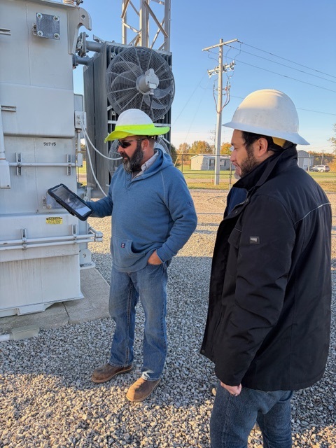
With the recent substation rollout, crews are now able to input pictures of a transformer and a serial number, or a regulator and its rating. Model numbers are available, so if something goes wrong, there’s no guessing or making a special trip to figure out which parts are needed. All
anyone has to do is click the location on a map and pull
up the assets.
The improvement in efficiency and available data is helping Hoosier Energy make better decisions and maximize the potential of its workforce moving forward.