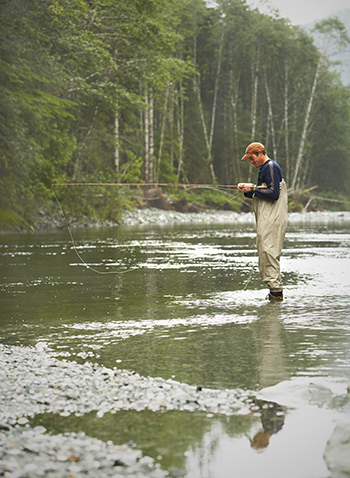
 Back in my boyhood days when I was first learning to fish, it didn’t take long for me to discover water depth had a lot to do with where to find fish. I had the advantage of swimming and wading every square foot of Big Flatrock River, and I knew the location of every drop off and deep hole of water. With the locations of the river’s terrain etched into my memory, I could cast a baited hook to the deep side of drop offs and target deep holes even when the river was up and running muddy brown.
On the river, I was an “ace” at using varying water depths to my advantage. However, I soon found when on fishing ponds and lakes, I was lost and well out of my comfort range. Knowing the depth and the location of flats, stumps and drop offs is vital to locating and catching fish.
Years ago, I was fishing with Dick Johnson of Garr Hill Bait and Tackle at Brookville Lake. Dick knew the lake as well as any angler, and he fished over 250 days a year on the reservoir.
To me, all I could see were vast expanses of water. As I looked across a cove, Dick began to educate me by telling the location and direction of break lines, and where fish would be holding in relation to the shoreline. Years of experience and a small depth flasher unit gave Dick the ability to locate the areas of the cove holding fish.
Triangulating our location in relation to two prominent trees along the shoreline, Dick carefully dropped an anchor and said, “This is the spot. We are in 12 feet of water holding submerged brush and spawning crappie.”
Sure enough, … in less than two hours, Dick and I both had a limit of nice size crappie in the livewell and were headed back to the ramp.
As we motored out of the cove, Dick saw a pontoon boat nosed into the bank and tied off with a couple watching two fishing poles propped off the stern of the boat. Slowing the boat, Dick turned to me and said, “I’m going to give those folks my crappie. They don’t know it, but where they are fishing is over 80 feet deep and they won’t catch a thing. The water is way too deep; and with the hot weather, the naturally occurring thermocline limits the amount of oxygen below about 20 or 25 feet. There’s no fish there.”
The couple was thrilled to have the fish as they were hoping to catch enough for their supper. Dick took the time to explain the layout of the water’s depth and proposed the next day they move their pontoon into the cove we had been fishing.
Knowing a lake’s terrain is important and thanks to Indiana’s Department of Natural Resources Fish & Wildlife Division, it is now a lot easier. It used to be, anglers either purchased an expensive depth map or spent hours huddled over a depth finder to learn the terrain of a lake. Thanks to Indiana’s DNR, anglers have at their disposal a less expensive and involved way to find fish. Several new lake bathymetry (depth) maps have been added to the DNR’s website. Anglers now have a total of 63 lake maps available for free downloading in digital format.
The latest additions include new maps in Warrick County — Blue Grass and Otter lakes; LaGrange County — Shipshewana and Nauvoo; Noble County — Mud Lake; and DeKalb County — Indian Lake.
Armed with the depth maps, Hoosier anglers of all experience levels can launch on a new lake and know the location of the deep holes, break lines and shallow areas fish love.
The complete list of the available Indiana lake depth maps can be found here.
Jack Spaulding is a state outdoors writer and a consumer of RushShelby Energy living along the Flatrock River in Moscow. Readers with questions or comments can write to him in care of Electric Consumer, P.O. Box 24517, Indianapolis, IN 46224; or email jackspaulding@hughes.net.